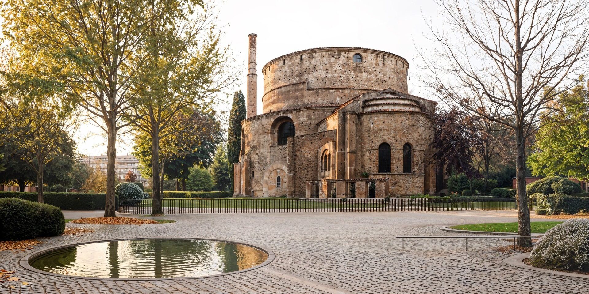
Armosi: Thessaloniki Archaeological Sites Masterplan by Apostolopoulos Tasoulis
Architecture:
Competition:
1st Prize, Public Competition, 2026
Organizer:
Anaplasis SA

Armosi by Apostolopoulos Tasoulis is the first-prize proposal for the unification of Thessaloniki’s archaeological sites and monuments. Its name derives from the Greek word Άρμοση, referring to the act of joining, and summarizes the central ambition of the masterplan: to reconnect archaeological remains, monuments, neighbourhoods and contemporary public life within a coherent but expandable urban system.
Thessaloniki’s Roman, Byzantine, Ottoman, Jewish and modern layers are often located only short distances apart, yet many of its monuments continue to be experienced as isolated fragments. The proposal addresses this discontinuity not through a single monumental intervention, but through a network capable of evolving gradually across the historic centre.
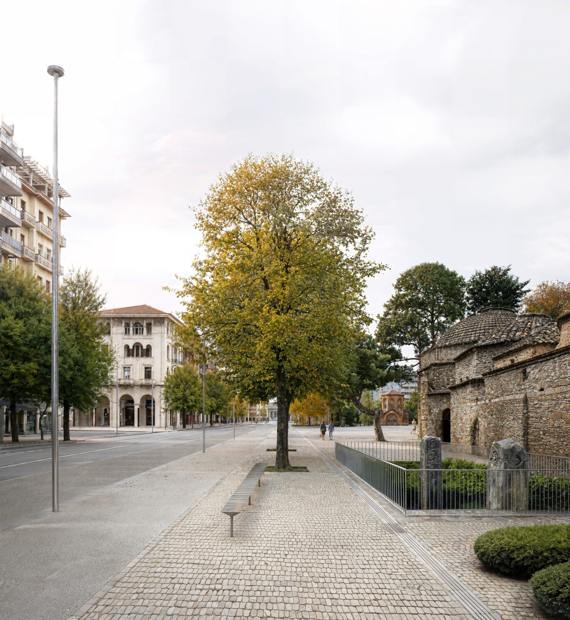
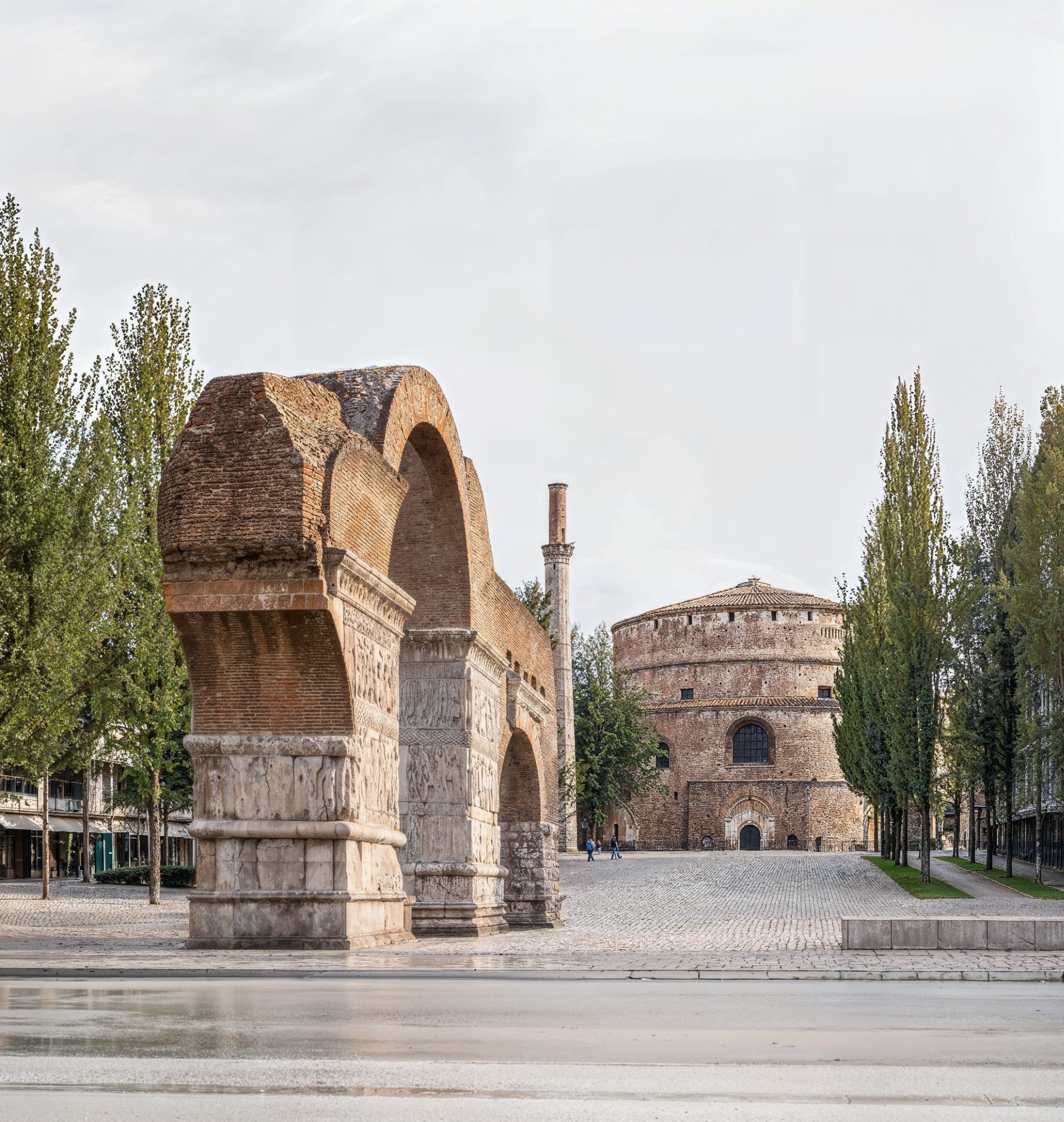
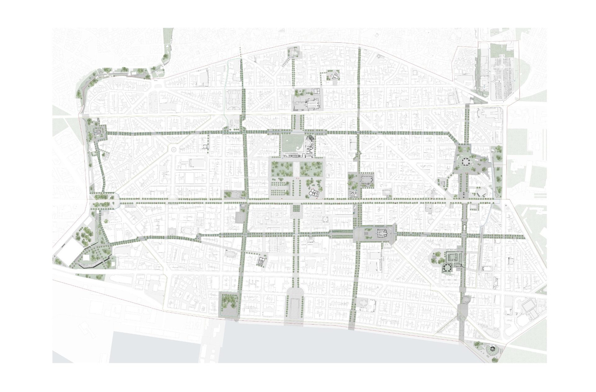
The masterplan is structured around the historic axes that have shaped Thessaloniki over time, with Egnatia Street and its intersection with Aristotelous Street forming its principal organizing framework.
From these axes, complementary routes extend across the centre, connecting more than 70 monuments and archaeological sites. The network is conceived as an open system rather than a fixed final composition, allowing new links and interventions to be introduced over time.
This approach shifts attention from individual monuments towards the relationships between them. Streets, squares and neighbourhoods become part of the historical narrative, allowing different periods of the city to be experienced as interconnected layers rather than separate destinations.
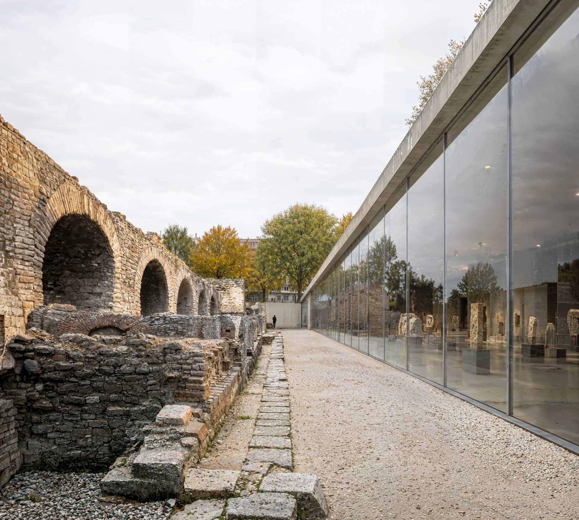
A central principle of Armosi is the reinterpretation of the boundary between archaeological sites and the contemporary city.
Existing enclosures and abrupt changes of level often reinforce the separation of monuments from everyday urban life. The proposal replaces this logic with carefully designed points of connection: new entrances, discreet boundaries and redesigned public spaces establish greater visual and physical continuity.
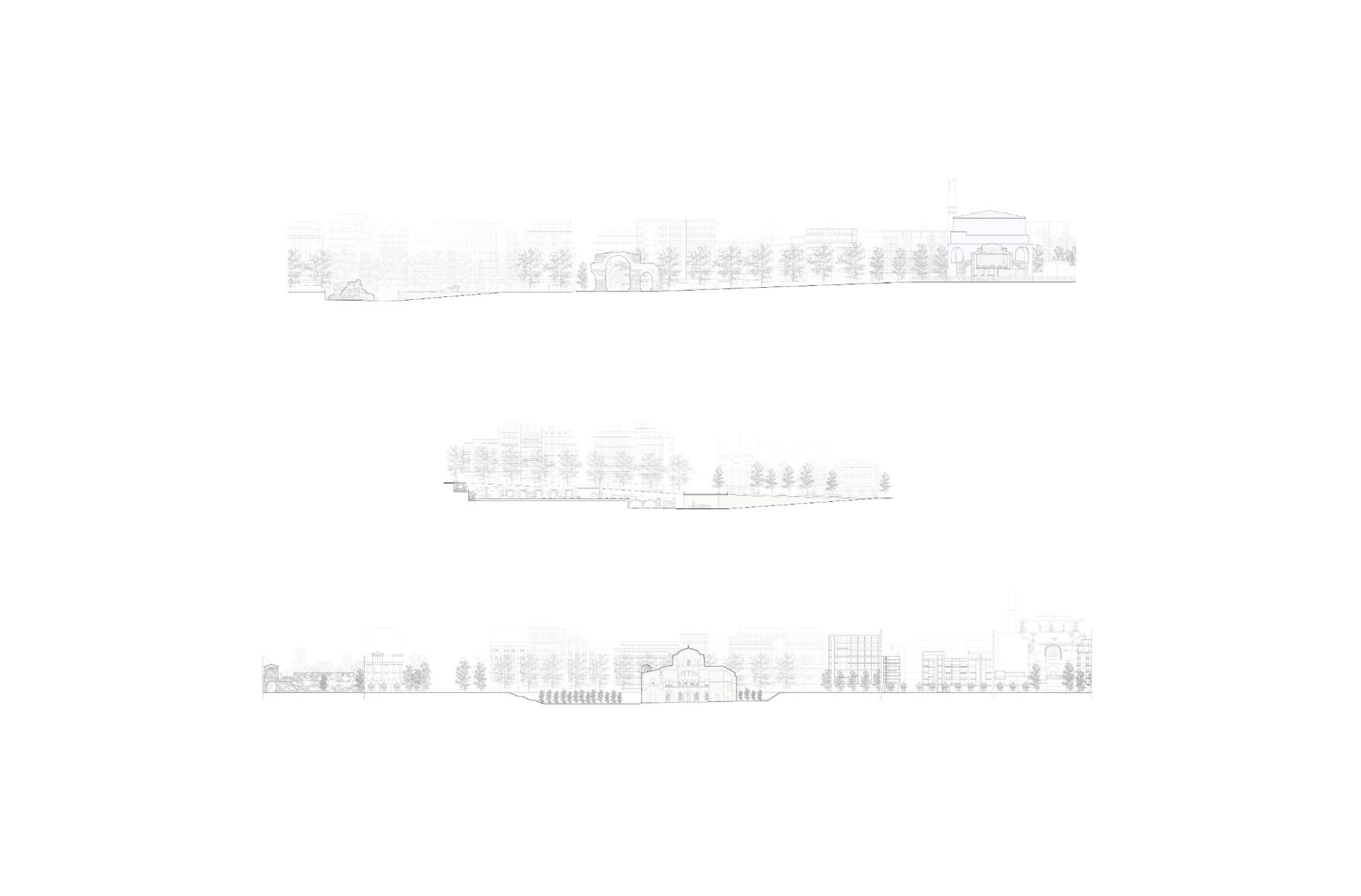
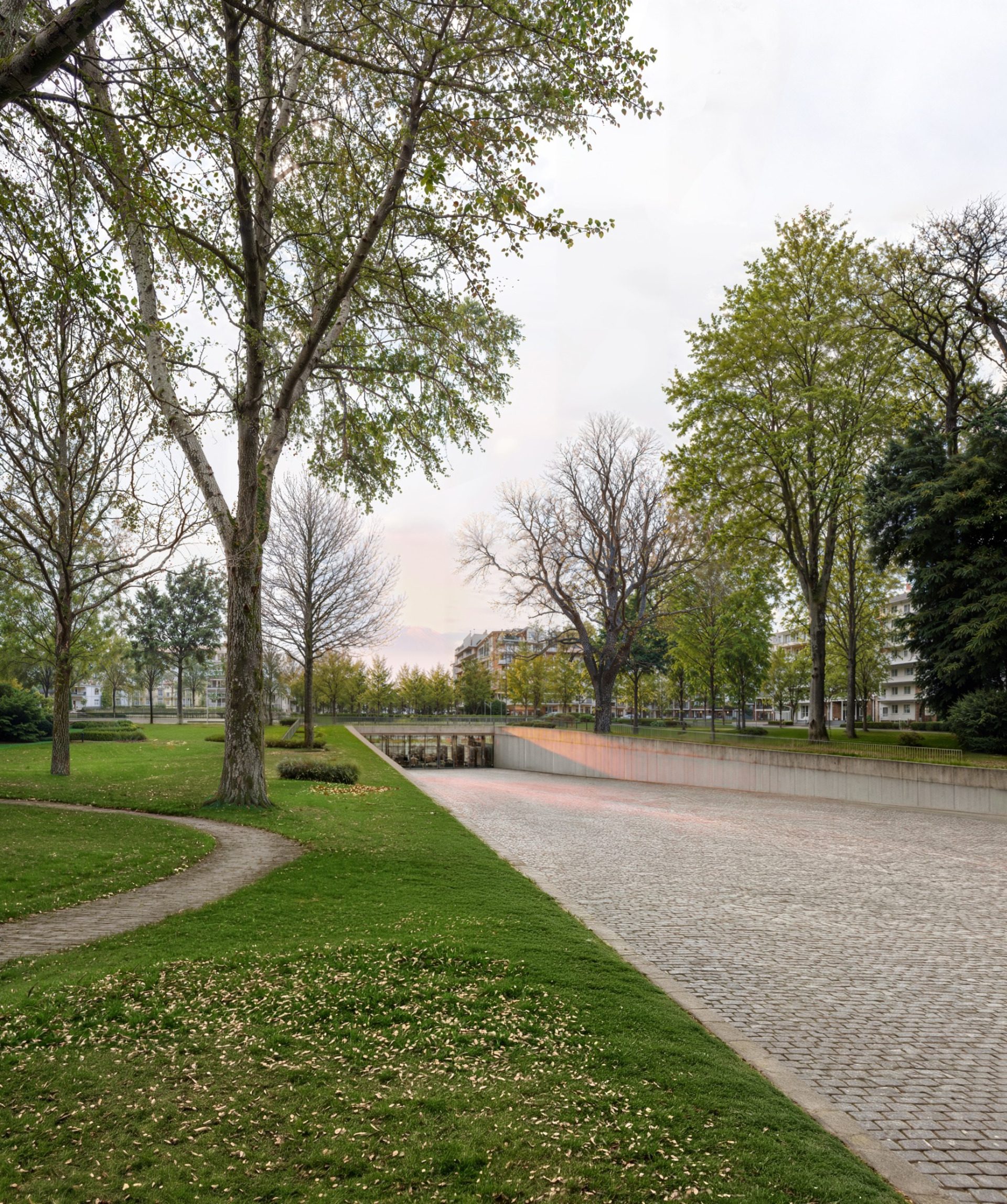
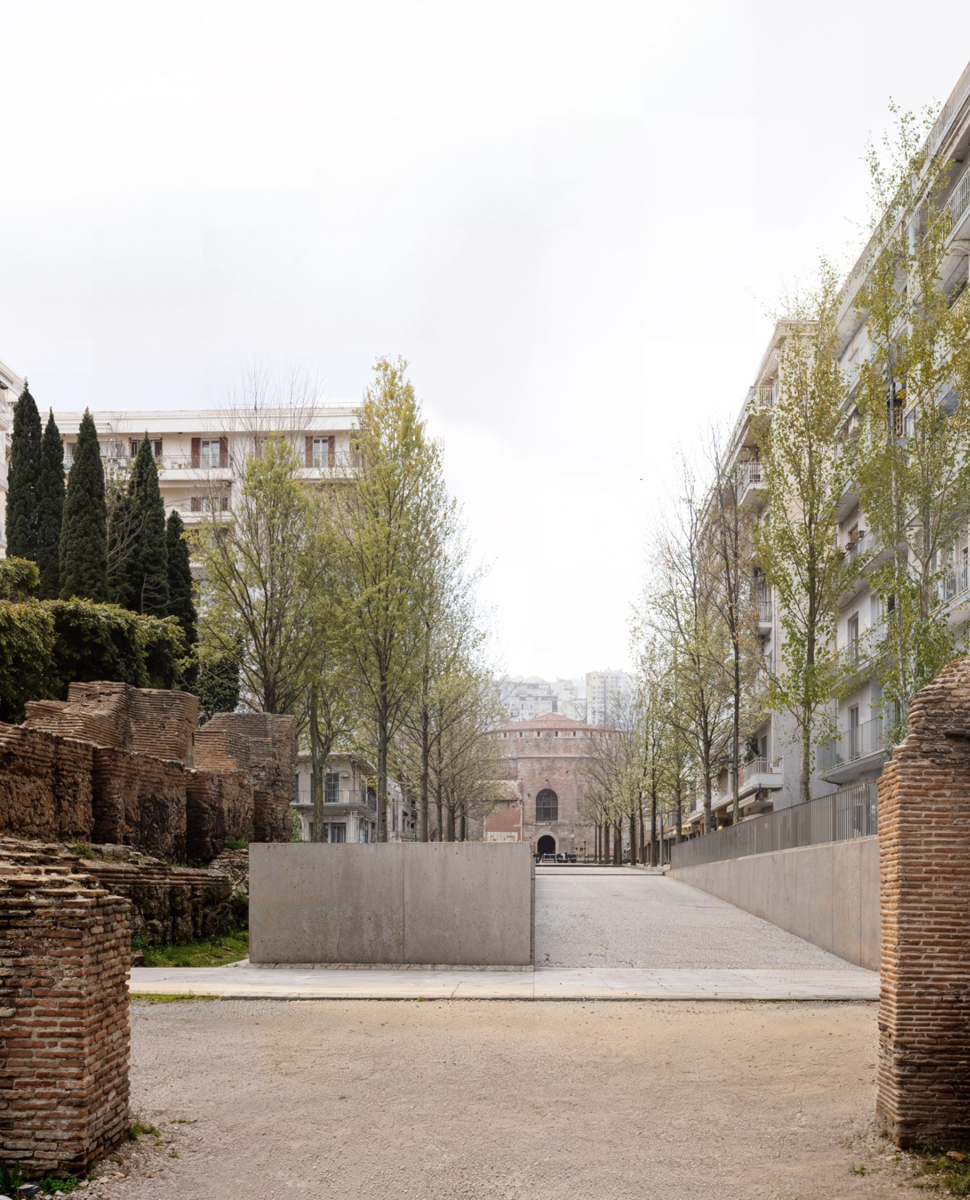
Where archaeological remains lie below present-day street level, accessible routes descend towards them, reducing the distance between contemporary circulation and the historical strata beneath it.
The “joint” consequently becomes both a spatial device and the underlying concept of the project: a point where different periods, uses and levels of the city can meet without losing their distinct identities.
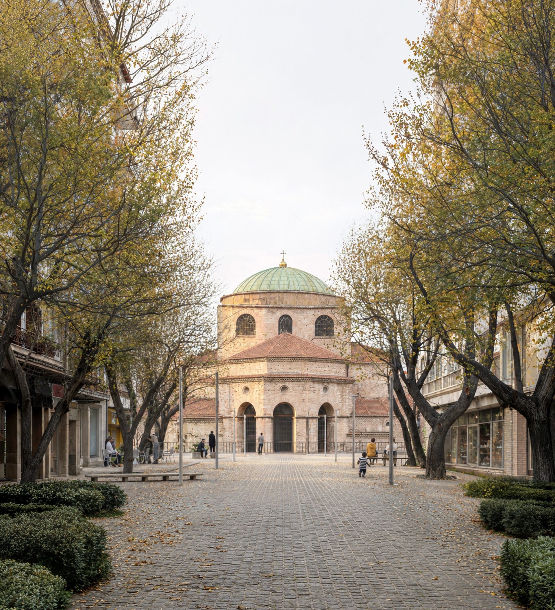
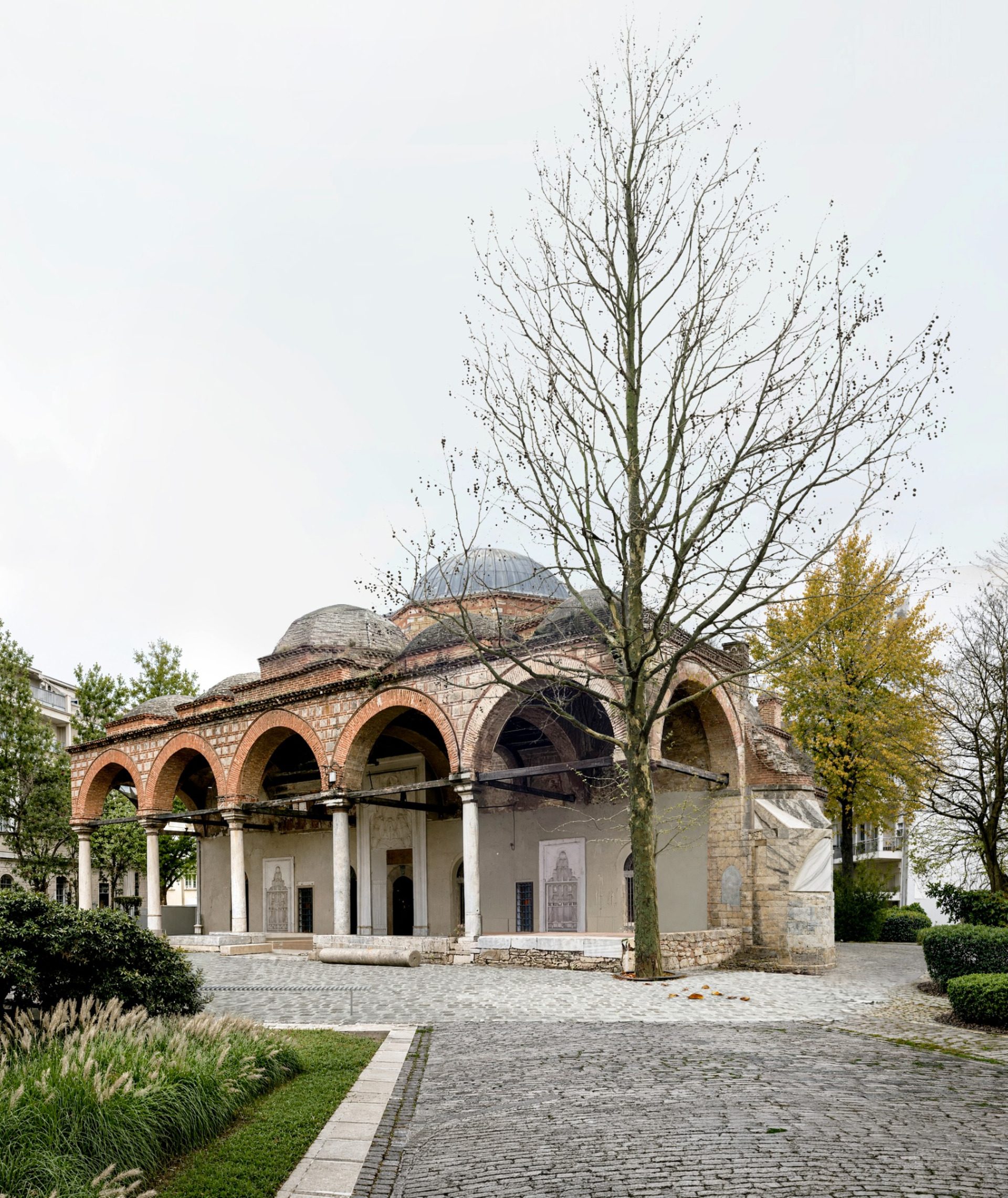
Drawing on UNESCO’s Historic Urban Landscape approach, the masterplan treats cultural heritage as an active part of the contemporary city rather than as a collection of isolated objects requiring visual separation.
The design deliberately avoids adding further visual complexity to an already information-rich urban environment. Instead, a restrained toolkit establishes continuity across different sites.
A light-toned stone surface extends through streets and squares, accompanied by discreet lighting, signage and urban furniture. The elements provide a common architectural vocabulary while remaining adaptable to the spatial and historical conditions of each location.
The intention is not to create a new visual foreground, but to provide a quieter setting in which the existing monuments can become more legible.
Public space is reorganized around pedestrians and sustainable mobility.
Existing pedestrian areas are extended and connected with new traffic-calmed routes, creating a continuous network coordinated with the metro and the reorganized public transport system.
Planting also becomes an integral component of the masterplan. New green corridors and reinforced vegetation create shaded pedestrian routes, contribute to the urban microclimate and introduce additional natural elements into the dense historic fabric.
Beyond movement, the network can support different thematic and cultural itineraries. Monuments from distinct historical periods can therefore be connected through alternative routes, allowing Thessaloniki’s historical stratification to be explored through multiple narratives rather than a single prescribed sequence.
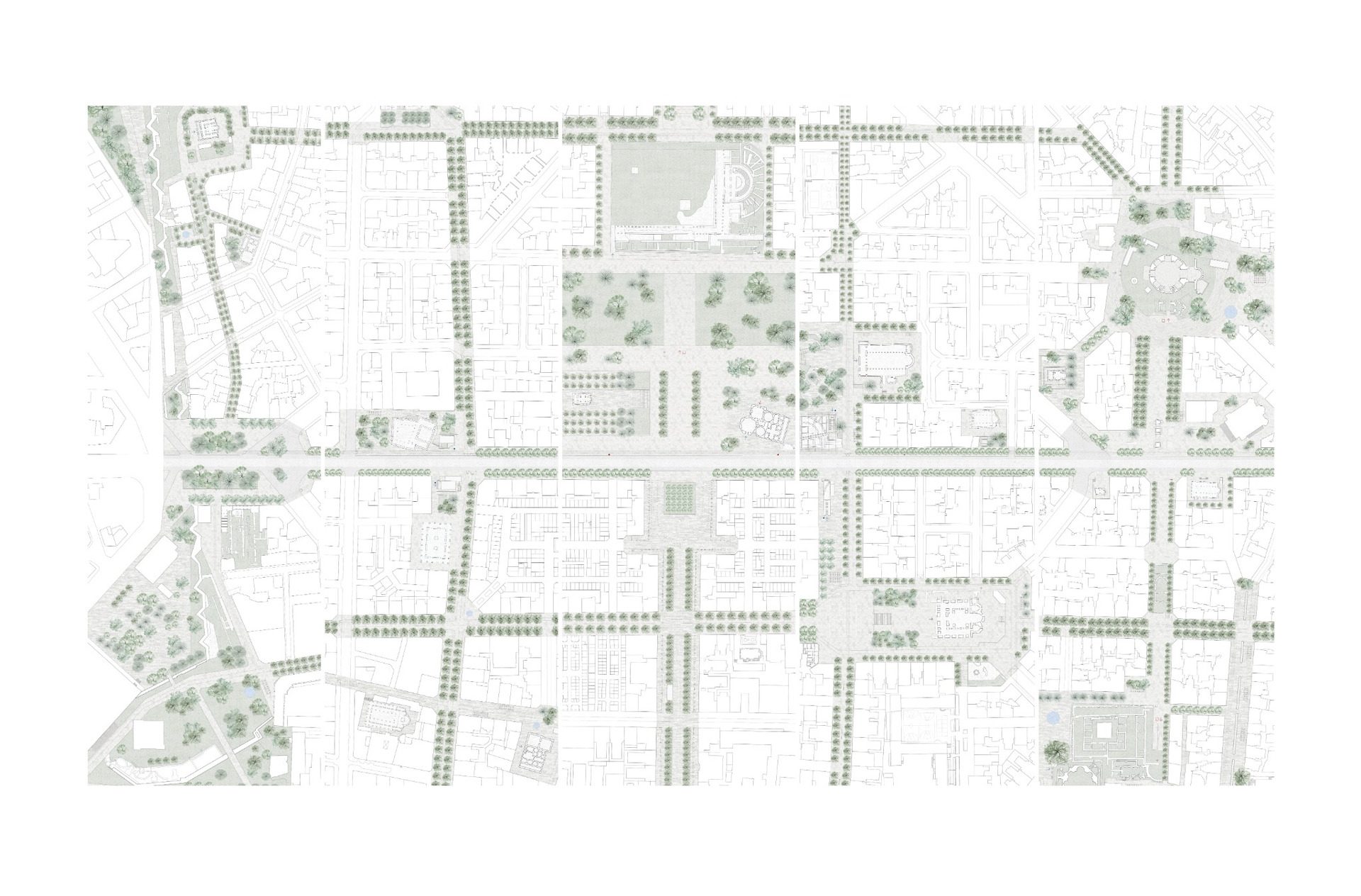
The shared strategy is adapted at key archaeological sites rather than applied uniformly.
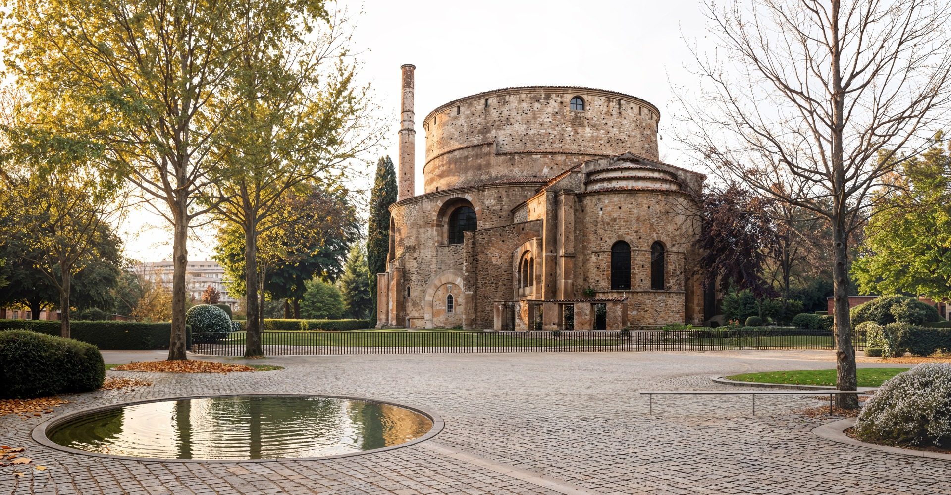
At the Rotunda and the Galerian Complex, the proposal seeks to re-establish the continuity of the historic imperial axis and strengthen its relationship with the surrounding city.
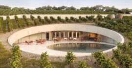
At the Roman Forum, a new axial entrance and a partially subterranean structure redefine access to the archaeological site and its relationship with contemporary street level.
These interventions illustrate the wider logic of Armosi: the masterplan provides a coherent framework, while each monument retains the capacity to respond to its own archaeological, topographical and urban conditions.
Rather than attempting to compete with Thessaloniki’s historical density, the proposal relies on precise and relatively restrained interventions. Through routes, thresholds, surfaces, planting and targeted architectural additions, Armosi seeks to reveal and reconnect what is already present.